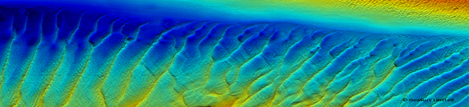
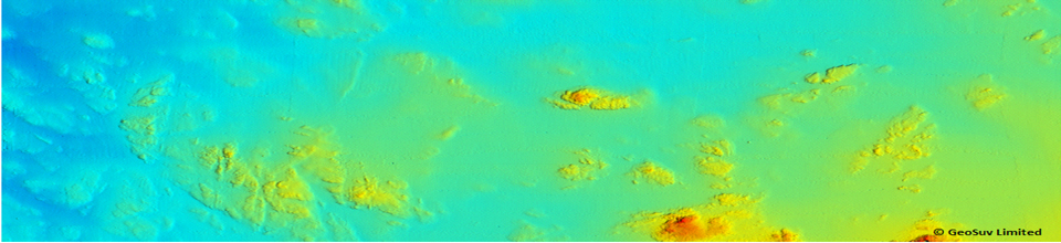


Positioning Systems
GeoSurv believe in accurate and cost effective GPS positioning. We use a variety of sensors depending on the client’s requirement and location of the survey. For topographic and inshore surveys RTK GPS is utilised. This gives accuracies of ±10mm in X,Y and ± 20mm in Z values. Where the site is further offshore (generally greater than 30km) then stand alone SBAS (WAAS/EGNOS/IALA) are available to provide DGPS positioning.
GeoSurv can also provide video displays and data transmissions for real time monitoring of current velocities. This technique is particularly important for the tidal renewable market where identifying the times of lowest current speeds is vital during turbine installations, recoveries and generalconstruction work.
Typical systems employed include, but are not limited to:
Trimble – SPS850/461 RTK (Receives WAAS,EGNOS, MSAS corrections)
Trimble – SPS351
Trimble – R6/8 VRS (RTK without the need for base station set up. Uses Trimble Virtual Reference Station network)
TopCon – HiPerpro RTK GPS Dual-frequency, dual-constellation and integrated UHF radio system
SATEL – High frequency radio modems for data transmissions. Used in conjunction with RTK and Real Time VMADCP monitoring
MiniVision – Real Time video display particularly useful for displaying VMADCP velocity profiles between the survey and construction/ ROV vessel