For all your survey needs; GeoSurv has the solution
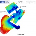
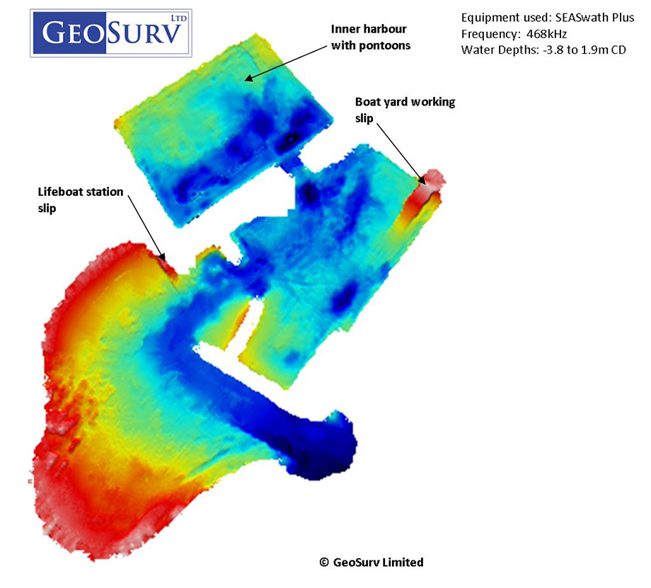
Arbroath Harbour bathymetry image exported from Qinsy Sounding Grid
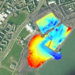
SEA SwathPlus of Arbroath harbour overlayed on Google Earth image.
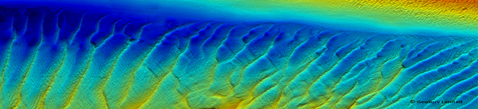
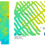
Geoswath plus backscatter image showing rock outcrops, gravel and megarippled sand, Montrose bay
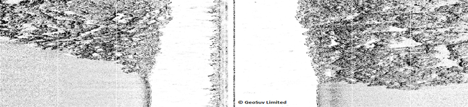
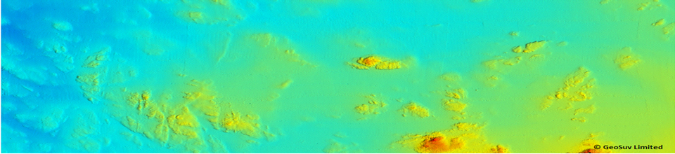
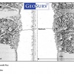
Geoswath plus backscatter image showing bedrock and sand
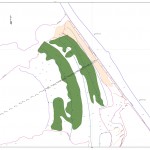
Beach sediment map compiled from GPS topographic survey and diver probe data.
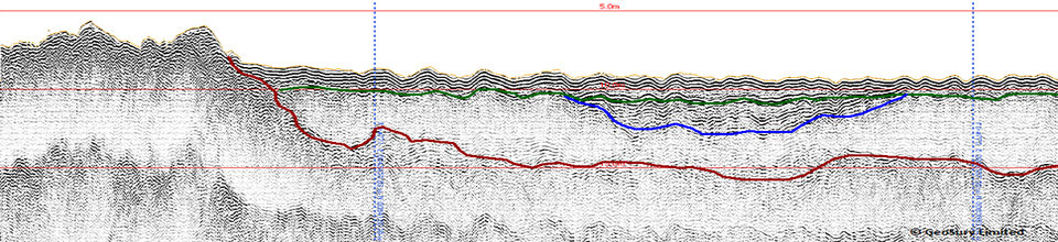
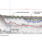
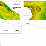
Geoacoustics pinger profile showing bedrock and overlying sand and gravelly sand
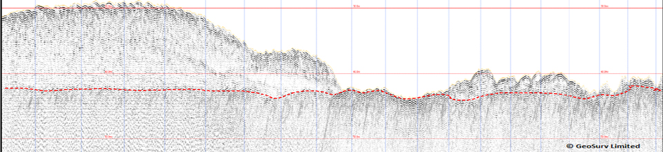
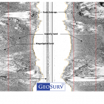
Typical bathymetry chart with sub-bottom profile line indicated along route centre line.
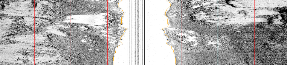
Geoswath images showing bedrock outcrops, St Helier Jersey
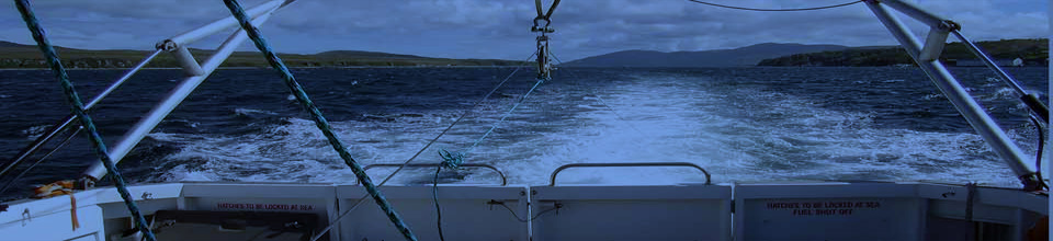
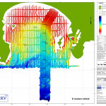
Geoswath Plus survey of Montrose bay and harbour
Switch to our mobile site