
Geophysical
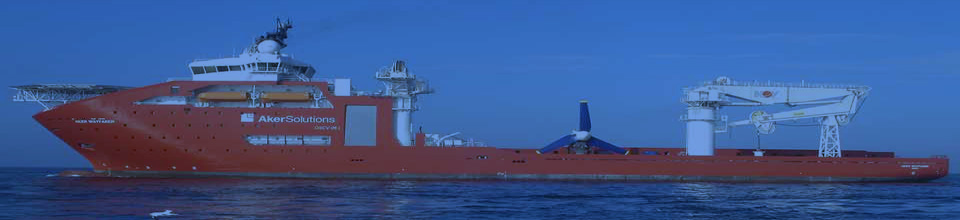
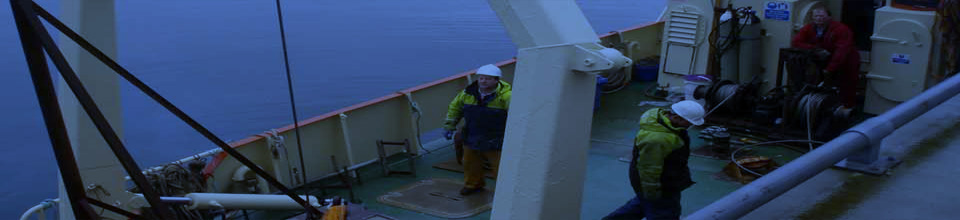
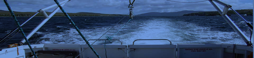
We at GeoSurv have the expertise in conducting a wide range of geophysical, hydrographic and topographic survey services. We operate in the offshore, nearshore, transition zone and onshore environments. Typical marine survey equipment utilised include, but are not limited to:
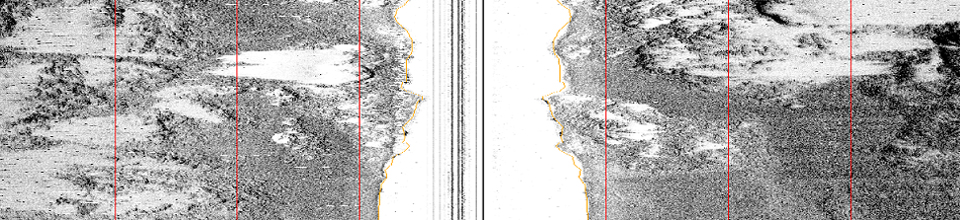
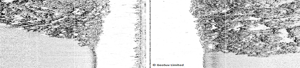
Side Scan Sonar – Analogue or digital instruments for high resolution images of the sea floor
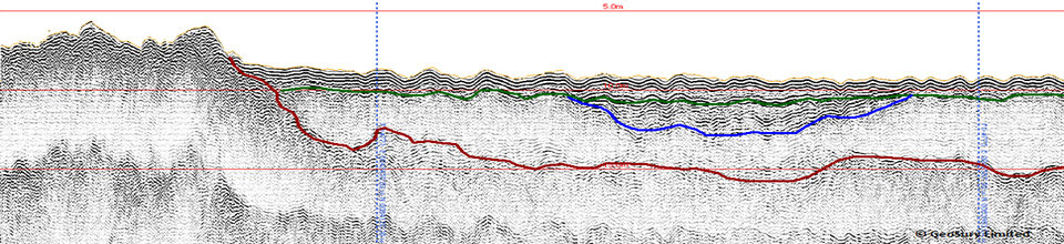
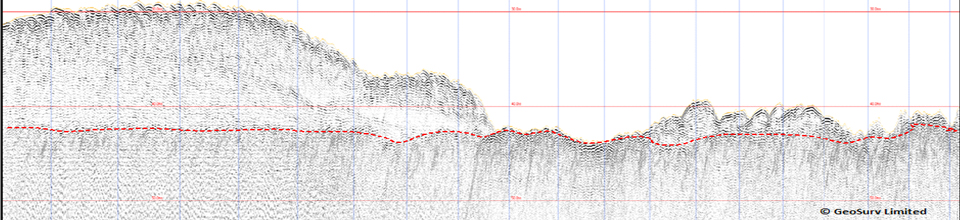
Sub-Bottom Profiling – From high resolution Pingers to low frequency high power Boomers and Sparkers
Magnetometers – Used for detecting ferrous material on or buried beneath the sea bed. An ideal tool for debris clearance surveys particularly when incorporated with side scan sonar and multibeam.
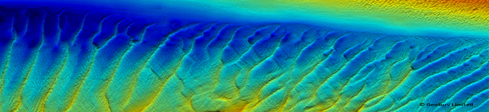
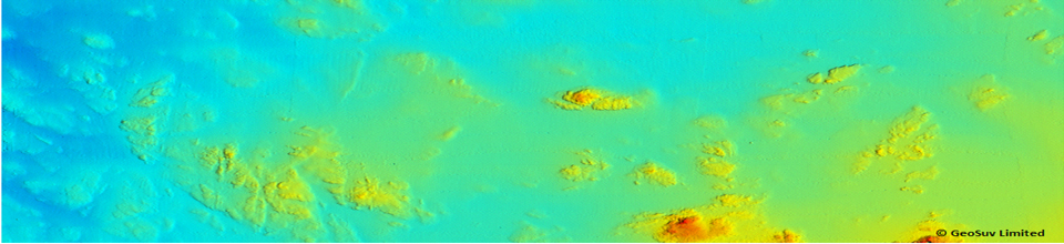
Multibeam bathymetry – high resolution systems for collecting depth soundings and imagery of the seabed. The high resolution allows micro features (>4cm) to be detected and mapped. This is particularly effective at imaging harbour wall /pier structures for damaged/ missing masonry and monopile scour surveys for bridge supports etc.
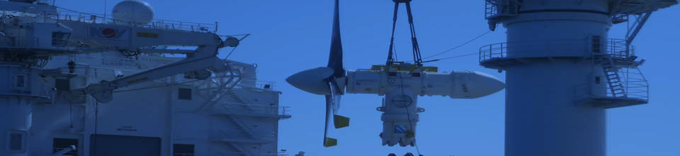
Vessel Mounted Current Profiling (VMADCP) – A rapid and accurate method of gathering flow velocities and directions through the water column. Particularly important for the tidal turbine developer.