Data Processing & Interpretation
GeoSurv also have a pool of experienced personnel who are utilised for data processing of third party multibeam and geophysical data sets. Using industry standard software data can be processed and reported on in a format suitable to the client.
Some of the software used includes:
Qinsy – Multibeam processing
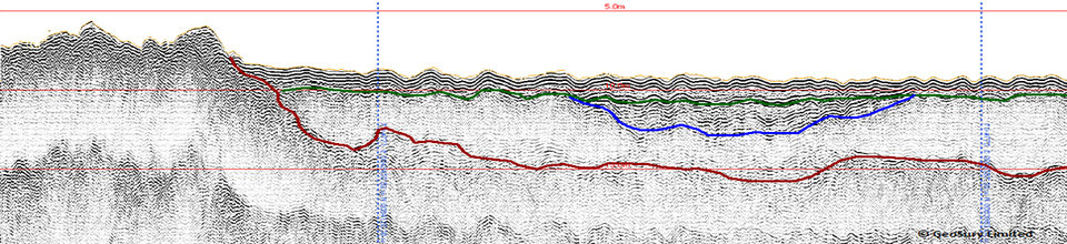
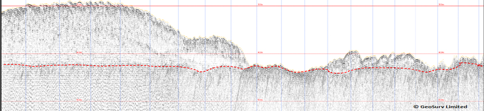
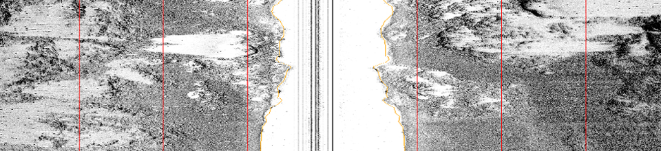
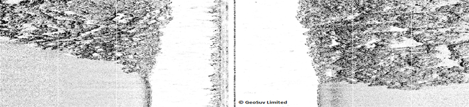
CODA – Geophysical (side scan sonar and sub-bottom profiler) processing and interpretation
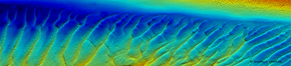
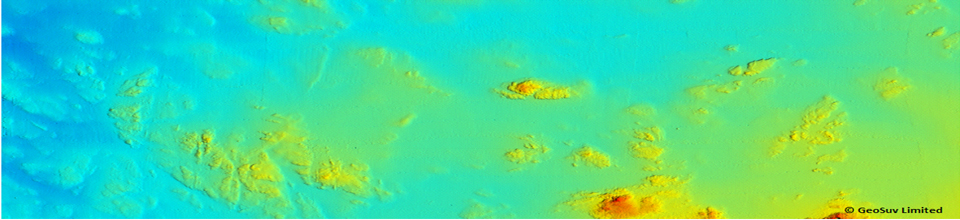
Fledermaus – Multibeam processing and 3D imaging
CARIS – Multibeam and single beam processing. Also used for side scan mosaic and draping over multibeam DTM.
Surfer – Used for gridding sub-bottom data to create isopachs of relevant geological horizons.
Data is delivered in GIS and or AutoCAD format depending on the client’s requirements