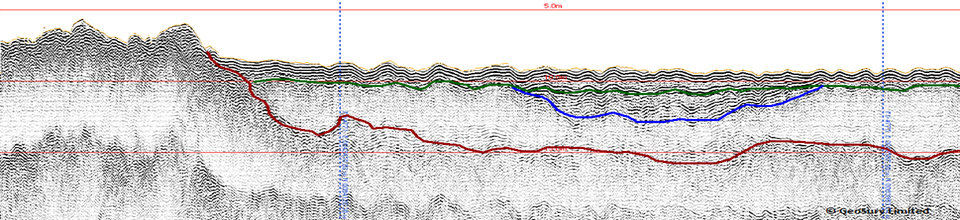
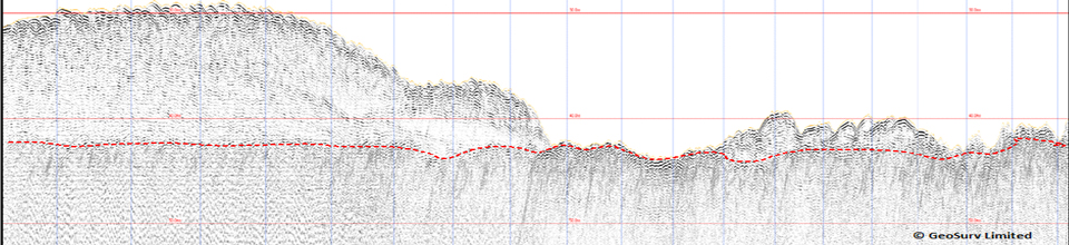
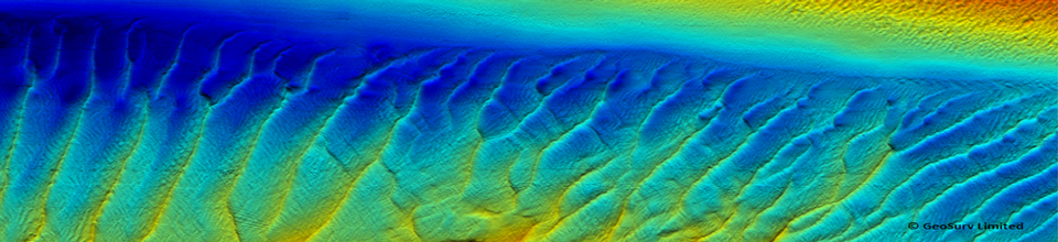
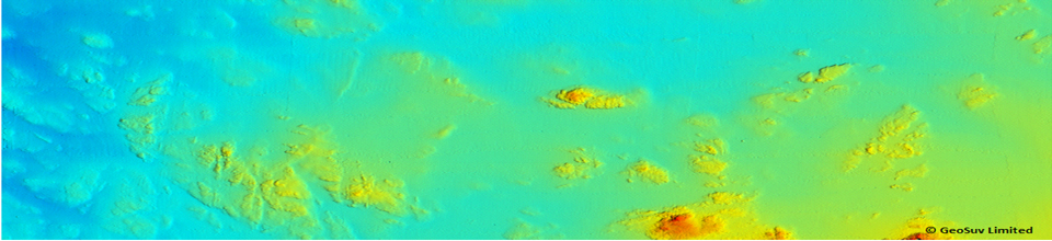
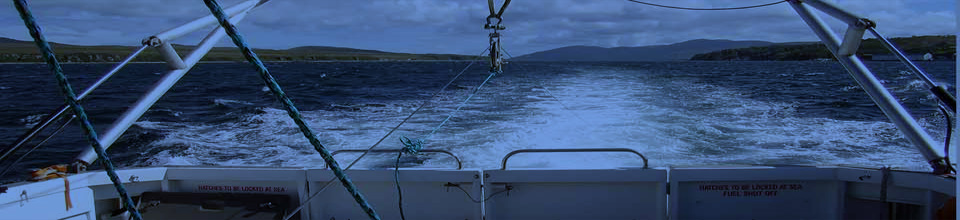
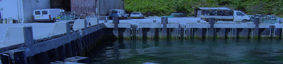
GeoSurv were delighted to be contracted by SOi Limited to undertake a bathymetric and backscatter survey of Montrose Bay for Angus Council. Utilising the Geoacoustics Geoswath Plus interferometric system and RTK positioning from a Trimble R6 VRS receiver proved a real success in this shallow water environment. The survey was conducted in late march and initially the weather proved challenging! The survey was contracted to Geosurv as part of the ongoing coastal erosion study of Montrose Bay. The survey included Montrose harbour and approach channel. The shallow draft and manoeuvrability of the vessel Swordsman meant the survey team were able to gather data in water depths of 1m which proved invaluable around the rocky coastline of Scurdie Ness and the large sand feature of ’Annat Bank’.


Geoswath Survey Montrose Bay
Comments are closed.